Read, Publish, and Review
Latest updates from AGU Publications...
New Journal Launch: Journal of Geophysical Research: Machine Learning and Computation is now open for submissions! Please see the announcement for more information.
Water Resources Research goes Fully Open Access! – This journal will become fully Open Access in January 2024. Please see the FAQ for more information.
New Video Resources – AGU publishing webinar recordings and video resources now available: learn about best practices on writing, publishing, reviewing, and how to navigate open science (open access, open data, open software).
As a leading publisher in the scientific community, AGU maintains the highest quality standards and promotes best practices in scholarly publishing. We've created a simple six-step infographic ![]() to help you get published with AGU journals as well as a quick overview about our publications
to help you get published with AGU journals as well as a quick overview about our publications ![]() .
.
Journals
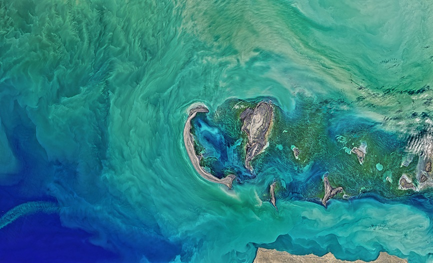
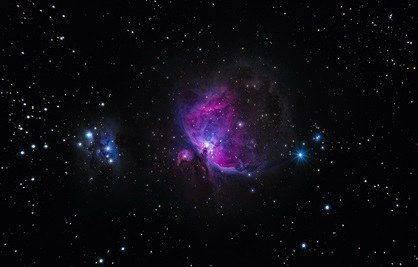
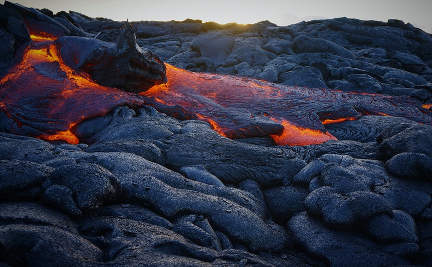
Our 23 peer reviewed journals are driven by editors who are recognized experts and leaders in their respective research areas. We boast the fastest publication times across all Earth and space science journals, allowing your research to be accessed, read, and cited sooner. A number of our journals are open access.
AGU members enjoy free access to the full text of all subscription journals. Log in here with your member credentials to view the content.
Download a brochure that provides a brief description of each journal's content, editor, email address and publication data. (Chinese ![]() | English
| English ![]() )
)
Books
AGU’s books program aims to publish up to 20 books per year across the breadth of Earth and space science topics by leading researchers from around the world.
Preprint server
The Earth and Space Science Open Archive is a community server where scientists can share early research outputs including preprints and posters presented at major scientific meetings.
Learn more about AGU’s publications and policies, Diversity, Equity, Inclusion, and Accessibility statement, and find out how to be an author, reviewer, or editor.

Access AGU Publications
AGU Advances – Open Access [submit]
Community Science – Open Access [submit]
Earth and Space Science – Open Access [submit]
Earth's Future – Open Access [submit]
Geochemistry, Geophysics, Geosystems [submit] [G-Cubed Data Sharing Guidance]
GeoHealth – Open Access [submit]
Geophysical Research Letters – Open Access [submit]
Global Biogeochemical Cycles [submit]
Journal of Advances in Modeling Earth Systems (JAMES) – Open Access [submit]
Paleoceanography and Paleoclimatology [submit]
Perspectives of Earth and Space Scientists [submit]
Special Collections (all journals)
Radio Science [submit]
Reviews of Geophysics [Invitation only]
Space Weather – Open Access [submit]
Tectonics [submit] [Tectonics Data Sharing Guidance]
Water Resources Research – Open Access starting January 2024 [submit]
Journal of Geophysical Research [Archive: 1896-1977]
Journal of Geophysical Research: Atmospheres [submit]
Journal of Geophysical Research: Biogeosciences [submit] [JGR: Biogeosciences Data Sharing Guidance]
Journal of Geophysical Research: Earth Surface [submit]
Journal of Geophysical Research: Machine Learning and Computation – Open Access
Journal of Geophysical Research: Oceans [submit]
Journal of Geophysical Research: Planets [submit]
Journal of Geophysical Research: Solid Earth [submit] [JGR: Solid Earth Data Sharing Guidance]
Journal of Geophysical Research: Space Physics [submit]
Special Collections (all journals)

Open Access
Data and Software Guidance

DEIA

Special Collections

AGU Publications Scientific Ethics and Integrity
Dual
Publication
Policy

Copyright and
Permissions Policy
Journal Statistics
Free Content
Contacts: [email protected]

Matthew Giampoala
Vice President, Publications | Staff partner for Publications Committee & AGU governance structures
Jenny Lunn
Director of Publications | Books & promotion of journal content
Margaret Moerchen
Director, AGU Journals | Advances & enhanced content
Jeanette Panning
Director of Publications | Editor relations
Mia Ricci
Director of Publications | Journal Operations
Paige Wooden
Assistant Director | Publications Strategy and Statistics
Publication requirements
Our journals welcome submissions from around the world. In addition to meeting the requirements outlined, all authors are expected to adhere to our ethical guidelines when submitting a manuscript. All new data and software for submissions should be placed into community-accepted, trusted repositories (not in supporting information).
-
1All listed authors must agree to be an author, read the final manuscript, approve of the order of authors, and meet our authorship criteria.
-
2Authors affirm that the manuscript is an original contribution. Any parts taken from previously published content are appropriately referenced and quoted.
-
3Authors have received permission to use or reuse any copyrighted material and data presented in the manuscript.
-
4Authors affirm the manuscript is not and will not be submitted anywhere else while under consideration by an AGU journal.
-
5Authors will disclose if any other manuscripts related to their submission are under consideration by other journals during the editorial process.
-
6Authors agree to comply with our publication policies.
Preparing your manuscript for submission
Paper types
The formula for publication units (PU) = number of words/500 + number of figures + number of tables. Word count includes abstract, text, in-text citations, figure captions, and appendices. Word count excludes title, author list and affiliations, plain language summary, text inside the table, Open Research Section, references, and supporting information.
Research articles
Research letters
Commentaries
Review articles
Comments
Replies
Frontier articles (in Geophysical Research Letters only)
Data Article
Method Article
Publication Fees
English language assistance for authors
To help authors improve the language quality of their submission so that the paper is sufficiently understood by the reviewers and readers, we have partnered with American Journal Experts (AJE) to provide English language editing, translation, and illustration services.
AJE has helped over 500,000 researchers around the world to present their research in polished English suitable for publication in journals such as those published by AGU. AGU members receive a 20% discount on all AJE services.
There also other editing services you can consider, including Wiley Editing Services. Please note that the use of these services does not guarantee acceptance in an AGU publication.
You can also find other educational resources on scientific writing and publishing on our webinars page.

Resources in other languages for authors
-
Resources in Mandarin
Presentations by Editor in Chief of JGR: Atmospheres, Minghua Zhang on
- How to Frame and Write a Good Scientific Paper
How to Respond to and Write Review
Advantages of AGU Journals: Promotion, Open Access, Data Policy, Plagiarism & Plagiarism Appearance
To access these presentations on YouTube use the links above. Click here to access these presentations in China via WeChat.
Text requirements

Index terms
Data and software for authors

Graphics requirements
Supporting
information

Grammar and
style guide
Corrections
policy
Promote your work
Overview
AGU's award-winning journals are widely respected because of the rigorous peer review by referees who volunteer their time, insight, and knowledge to improve the work of their colleagues and peers. Their contributions add value to the scientific enterprise and strengthen the quality of the research. If you are interested in joining the AGU pool of reviewers for a backstage pass to some of the most cutting-edge research in Earth and space science, please send your contact information, journal preference, and areas of expertise to [email protected].
Read a Scholarly Kitchen Guest Post — Why the “Who” of Peer Review is Important by AGU Publications staff Matthew Giampoala, Randy Townsend and Paige Wooden in celebration of Peer Review Week 2021. The post is also available in French, Spanish and Mandarin.
Guidelines for reviewers
Our peer review process is managed in the Geophysical Electronic Manuscript Submission system (GEMS). You will receive an email with a link requesting a review. New reviewers will need to update their profile in the GEMS system (this is separate from your profile on AGU.org).
The most helpful peer reviews summarize the main contribution of the paper, its appropriateness for the journal and any major revisions required. Minor suggestions or edits are best listed separately. If you prefer, you can upload a file with your review and/or an annotated manuscript. Individual reviews are internally rated on how helpful their feedback is to an author, and how valuable the review is in the associate editor recommendation and the editorial decision. For more information, please see this GEMS Reviewer Statistics System FAQ.
It is important to meet the review deadline but if you are unable, contact the journal staff immediately. Extensions are granted at the editor’s discretion. Please submit your review online using the link provided in the emails.
Final decisions on acceptance or rejection are made by the editors. You will be informed promptly of the final decision.
When you log into GEMS, the manuscript you have agreed to review will be under Reviewer Tasks and marked with a red arrow. After clicking the link, you will be presented with reviewer instructions, manuscript details and files, and a review form.
You can change your profile and/or update areas of expertise by selecting Modify Profile/Password, under General Tasks, at the bottom of your GEMS home page
We will add your review service to your ORCID profile with your permission. Simply register for an ORCID and/or link it to your GEMS profile. We also recognize reviewers throughout the year with awards and service subscriptions.

Review criteria for Geophysical Research Letters

Quick Guide to Writing a Solid Peer Review
Review criteria
After Acceptance
Production Process
Your accepted paper will be sent to AGU’s publishing partner, Wiley, for production (copyediting, typesetting, proofreading, and publication), and copyright/license signing. The typical process takes 15 working days for Geophysical Research Letters and 22 working days for all other journals. You will be communicating with Wiley directly throughout the process.
You will be asked to review the proofs and submit corrections prior to publication of the version of the record on the journal’s website. Please respond promptly to your proofs to ensure quick publication. Once a paper is accepted, it will be considered a final manuscript. When receiving proofs, please note that only critical changes (i.e. major proofing errors) should be made to the proofs. Any changes of a technical or substantive nature that impacts the science will need to be reviewed for the Editor’s approval.
Your published paper will receive a digital object identifier (DOI). This DOI will be 10.1029/XXXXXXXXXXXX, where the 12-digit suffix is your paper’s manuscript number without trailing Rs or Ts.
AGU’s self-archiving policy allows sharing of the accepted manuscript to an institutional repository or personal and departmental website without embargo. Authors are also encouraged to post their accepted manuscript as a preprint to Earth and Space Science Open Archive or update their preprint if the original submission was already shared via AGU journals’ submission system (GEMS).
Copyright/Licenses
After your paper is accepted, you will receive an email to complete the copyright licensing process electronically on the Wiley Author Services dashboard.
- If you are publishing your paper as a subscription article (not open access), you will be asked to sign a Copyright Transfer Agreement to transfer rights to AGU.
- If you are publishing your paper as an open access article, you will be asked to sign an open access agreement with a Creative Commons license that allows you to keep the copyright.
For more information on copyright and licensing, please visit the Wiley Author Services guidance here.
For AGU’s permissions policy, including the rights granted to authors, you can find more information here.
Promotion
Once your paper is published online, share your success:
- Post to your social media accounts. This could also include using the account handles of AGU editors and a journal’s specific social accounts (if they exist). Don’t forget to tag AGU social media accounts and use #AGUpubs.
- Email your colleagues, employer and friends so they can promote your science on their social media channels.
- Post the “version of record” of your article to your institutional repository.
- Notify AGU’s press office ([email protected]) if your institution is planning a press release
- Complete a publicity request to let us know what you think is interesting about your research and how it will shape future research or understanding in this field.
Wiley Production contacts
Editor Searches
Help shape the scientific quality of research published in your field
AGU seeks dynamic, well-organized scientists with high editorial standards and strong leadership skills to serve as Editors of journals. The editorial term is 3 or 4 years depending on the journal. Applicants should be respected leaders in the community, independent-minded, even-handed, and able to make tough but fair decisions in timely manner. More detailed information on an Editor’s role and responsibilities and guidelines, as well as desirable characteristics, is available. A Search Committee appointed by the Council Leadership Team evaluates candidates and conducts personal interviews with a small number of highly qualified individuals. The Council Leadership Team makes the final selection and appointment.
Are you qualified and interested in becoming an Editor? Know someone who is?
You are invited to submit your curriculum vitae with a letter of interest to the Editor Search Committee for your journal of choice. To nominate someone who is qualified, send a letter of recommendation to [email protected].
Current searches
Editor-in-Chief for AGU Advances ![]()
Editor-in-Chief for Geophysical Research Letters ![]()
Editor-in-Chief for JGR: Earth Surface ![]()
Role of an Editor
Editors in chief
Editors in chief serve as primary custodians of AGU journals and are expected to interpret the scope of the journal broadly. They are the faces of the journals, plan their strategies and directions, and advocate for them at meetings. Editors in chief must meet annually to discuss overall AGU publications strategy, new developments, and forthcoming opportunities.
We seek dynamic scientists who possess high editorial standards and strong leadership skills to serve as editors of our journals. The editorial term is three or four years, depending on the journal. Applicants should be respected leaders in their field. Our ideal candidates are well organized, prompt, and able to make tough but fair decisions.

Editor in chief qualifications and benefits
A search committee appointed by the Council Leadership Team evaluates candidates and conducts personal interviews with a small number of highly qualified individuals. The Council Leadership Team makes the final selection and appointment. Applicants to editor in chief positions should demonstrate the following qualities.
-
1Scientific breadth in the area of interest
-
2Expertise in the evolving or competitive areas of the journal
-
3Editorial experience
-
4High standards in research and publication
-
5Strong organization skills and ability to meet commitments
-
6Managerial strength and ability to make difficult decisions
Journal editors

Associate editors
Associate editors, if used by the journal, support AGU's rigorous peer review by evaluating a manuscript's merit and suitability for peer review, identifying qualified reviewers, assessing the reviews, and making recommendations to the editor. Associate editors apply their expertise to maintain high scientific and ethical standards, and inform journal editors of concerns. They are invited by the editors in chief and typically serve a four-year term.

Guest editors
Recent features of AGU publications
Journal articles, special collections, and new books are featured across various websites, blogs, and via social media. The latest features are listed below; subscribe to our RSS feeds to keep updated.
See the Scholarly Kitchen Guest Post — Why the “Who” of Peer Review is Important by Matthew Giampoala, Randy Townsend and Paige Wooden in celebration of Peer Review Week 2021. The post is also available in French, Spanish and Mandarin.

- A Better Way to Predict Arctic Riverbank Erosion, 24 April 2024
- Mantle Heat May Have Boosted Earth’s Crust 3 Billion Years Ago, 23 April 2024
- Lakes Worldwide Need a Checkup, 22 April 2024
- A Million Years Without a Megaslide, 19 April 2024
- Anthropocene Activities Dramatically Alter Deep Underground Fluid Flux, 17 April 2024
- Foundations in Hazards and Disasters for Undergraduate Students, 22 April 2024
- Exploring Alfvén Waves Across Space—and Disciplines, 26 March 2024
- Challenges and Prospects for Modeling Lake Water Temperature in a Changing Climate, 01 March 2024
- Challenges in Measuring Aerosol Cloud-Mediated Radiative Forcing, 29 February 2024
- Introducing the new Editor-in-Chief of JGR: Solid Earth, 28 February 2024
- Hydraulic Fractures Are Lazy, 19 April 2024
- Towards a Unified Framework for Earth, Mars, Titan, and Exoplanets, 18 April 2024
- Phased-Array Radar Detection of Electrically Aligned Ice Crystals, 17 April 2024
- Integrating Science, Art, and Engagement to Strengthen Communities, 16 April 2024
- Learning Data Assimilation Without the Help of the Gaussian Assumption, 15 April 2024

Press releases
Social media
Commentaries