
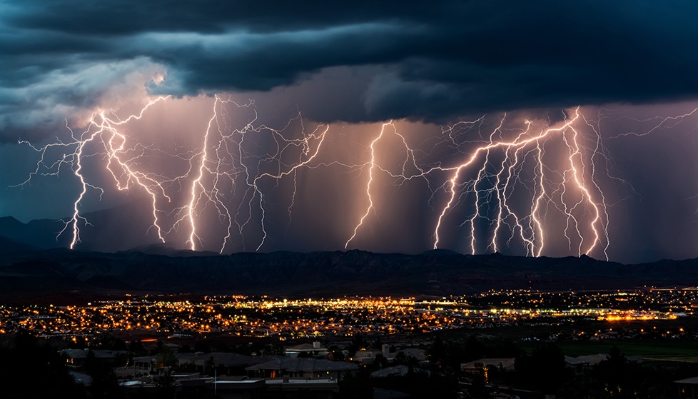
Natural Hazards Alerts
About the meeting
This workshop will be focused on discussion and sharing. Experts with experience with ground, surface, meteorological and atmospheric data, together with social scientists, NGOs, city planners, and people working with disaster management are invited to discuss the needs and how to reach an affected community with the natural hazards.
Browse the program
BrowseWho should attend
Meeting goals
Format and Schedule
The scientific program is live! For detailed session information view the online scientific program.
Big Data and Machine Learning
The climate and earth sciences have recently undergone a rapid transformation from a data-poor to a data-rich environment. In particular, massive amount of data about Earth and its environment is now continuously being generated by a large number of Earth observing satellites as well as physics-based earth system models running on large-scale computational platforms. These massive and information-rich datasets in conjunction with state-of-the-art machine learning algorithms offer huge potential for understanding how the Earth’s climate and ecosystem have been changing and how they are being impacted by human actions.
This session will discuss various challenges involved in analyzing these massive data sets as well as opportunities they present for both advancing machines learning as well as our understanding of the impact of human actions and changing climate on the natural environment and human-built infrastructure. All interested are welcome to participate and provide their feedback.
Dust Storms
Dust storms are common in many parts of the world. The dust from the source regions, depending upon the meteorological parameters, travel long distances and considered as the case of border problems. The huge amount of dust storms from Sahara Desert region have affected the eastern and central parts of US. The western parts of US are also affected from the dust storms originated from China and transported through Pacific Ocean.
The session will cover the following topics:
• Dust storms
• Dust and climate
• Dust and Health
• Long range transport of dust
• Various observing systems in place
• Satellite and ground observations available
• Warning of dust storms
• Use of social media to reach out to people
All interested are welcome to participate in the session and express their opinion, what is needed to alter people about dust storm.
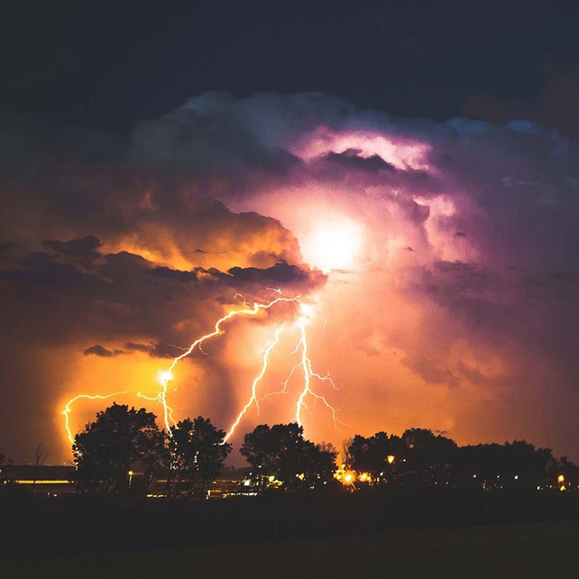
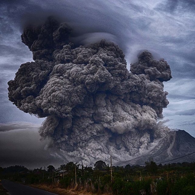
Ionospheric And Atmospheric Perturbation Associated With Earthquakes, Tsunami And Volcanoes
Recent studies have demonstrated that several natural and anthropogenic processes (e.g., earthquakes, tsunamis, volcanic eruptions, severe weather events, and explosions), which are known to generate acoustic and gravity waves in the atmosphere, can cause variations in the Total Electron Content (TEC) in the ionosphere. Thus spatiotemporal TEC observations can be used to characterize these phenomena and monitor their associated hazards.
Traditionally, TEC observations have been derived from expensive dual-band GNSS receivers; however, recent research has demonstrated that TEC signals can be recovered from single-band receivers. This provides the opportunity to have many receivers (i.e. an array) providing near-real time data in many parts of the globe.
The session will cover the following topics:
• Ionospheric perturbations associated with earthquakes, volcanoes, tsunami, explosions, chemical blasts, etc.
• Physics associated with perturbations of the ionosphere
• Satellite and ground based observations
• Land-atmospheric-ionospheric coupling
• Integrated approaches to monitor TEC
All interested scientists dealing with ground and satellite observations and modeling of ionospheric perturbations are invited to contribute short talks and participate in the discussion on how ionospheric signals can be used to alert about an impending natural hazard.
Environmental Hazards Associated with Energy Exploitation
The energy industries constitute the foundation of the modern societies, providing resources for electric power generation, transportation, space heating, etc. These industries are widely distributed around the world and operate based on the type of energy resource they explore and generate such as oil and natural gas, coal, geothermal, nuclear, wind, solar, and biomass. Energy will increasingly be a challenging frontier for countries around the world because while there is a worldwide movement toward low-carbon energy technologies, the supply of affordable and abundant energy is also critical to economic development and life standards. While exploiting energy sources, there is threat to environment, and poor air quality. Further, the exploitation of energy triggers earthquakes.
The session will deal with impacts of exploration of oil/gas, exploitations of geothermal fields and associated natural hazards such as blowouts, greenhouse gas emissions, oil spills and gas leaks, offshore disasters, and more.
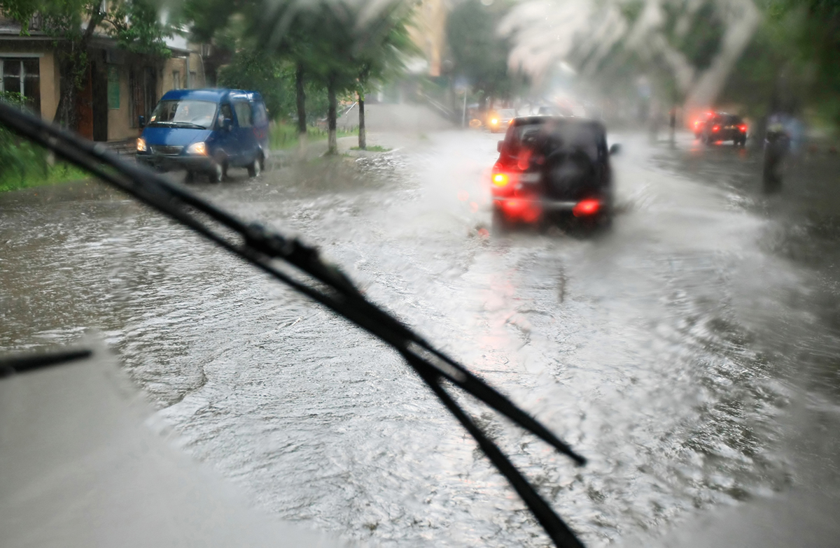
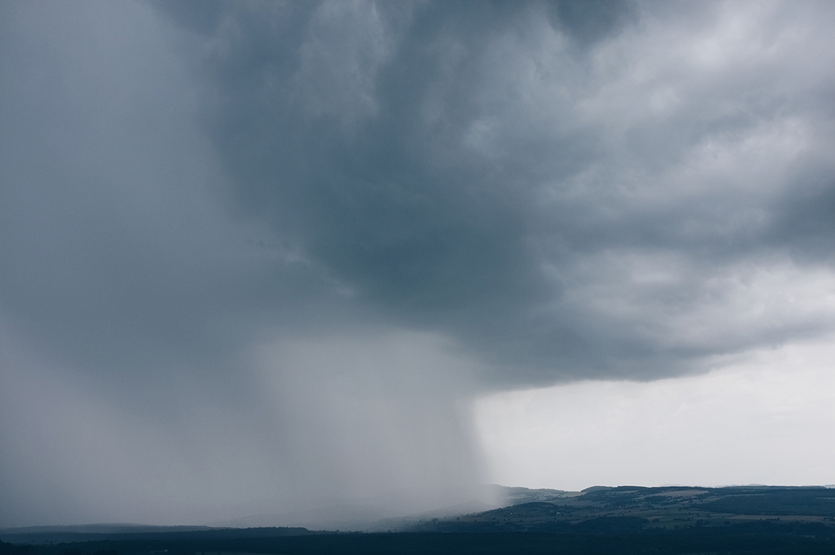
Extreme Events and Floods
The frequency and severity of anthropogenically-driven climate change is increasing the frequency and severity of extreme weather over time, NASA efforts are going on to launch new missions to get high resolution data that will help to develop efforts to ensure forecast of extreme weather, water resources management and likely danger of natural hazards to the community. The use of social media will enhance communication that will help the community to save life of people from the water related natural hazards.
The session will cover the following topics:
• Floods and extreme rains
• Observing systems (satellite and ground observations)
• flash floods warning
• Use of social media to alert community
All interested are welcome to participate in this session.
Hydrometeorological Driven Natural Hazards
Drought is one of the costliest natural disasters and has profound implications on several aspects associated with socio-economic well-being of the people. Drought normally starts with the precipitation deficit and intensifies due to high temperatures. Meteorological droughts, if persist longer, can translate to agricultural, hydrological, and groundwater droughts. Long-term droughts result in crop failures and depletion of surface and groundwater resources, which can lead to food and water security. Climate change is likely to intensify droughts due to increasing atmospheric water demands. Considering the challenges associated with drought monitoring and prediction, drought management, and climate change impacts on droughts, the proposed session invites submissions on the following topics:
• Role of climate variability and climate change on drought
• Approaches to monitor drought and provide early warning.
• Impacts of droughts on surface and groundwater resources.
• Drought and its linkage to food and water security
• Sub-seasonal to seasonal (S2S) prediction of drought
• New approaches of drought management
• Use of social media for community participation in drought management.
All interested scientists covering all disciplines, policy makers, and NGOs are invited to attend the sessions, participate in the discussion and express their views.
Landslides
Rainfall, earthquakes, and wildfires are considered as major triggers of landslides, mudslides, and mass movements. It is a general understanding that there is very small or negligible probability of having these three natural disasters together or within a short time interval. However, we have witnessed, in recent years, the large earthquakes followed by extreme precipitation or vice versa that triggered tens of thousands of landslides per event. In many cases, extreme precipitation is followed by wildfires, have caused a significant loss of lives and properties worldwide. In this workshop, case histories of landslides triggered by post-earthquake or post-wildfire rainfall events will be discussed. In the mountainous areas during wintertime, occurrence of earthquakes causes snow avalanches and landslides, due to lack of infrastructure and deployment of ground sensors mountainous areas are not being monitored effectively and the community do not have much information of an event and their life sometime standstill.
The session invites all those who have interest to present or participate in the discussion covering the following topics:
• Major landslides in different parts of the world.
• Earthquake and rainfall induced landslides.
• Satellite and ground observations and monitoring
• Early warning of landslides
Natural Hazards Alerts and Communication
Timely communication of natural hazards is paramount to protect people, properties and the environment. Novel methods are providing ways to produce alerts for and receive data from the public. This session will present various communication and alert methods for natural hazards including official early warning systems, community developed networks, mobile technologies, and how monitoring and alert networks use inputs from geospatial technologies. The format will include four short presentations, followed by a moderated panel discussion. Participation in the discussion is open to everyone, with a particular emphasis on feedback from government, humanitarian, and private sectors.
Ocean Related Natural Hazards
The hurricanes/cyclones/typhoons effect infrastructures, loss of life and property, air quality, meteorological/atmospheric parameters and ocean ecology. This is ocean related hazards, starts in the ocean and move towards land and cause severe damages. A strong coupling between land-ocean-atmosphere and even ionospheric disturbances are observed. With the satellite and ground observations on land and ocean and modeling have improved timely forecast of intensity and tracks of tropical storms. This has helped scientists and Government agencies to alert people in the area where landfalls are expected. The session will also be discussed sea level rise and coastal vulnerability.
The sessions will cover the following topics:
• Observing systems in ocean
• Climate change and sea level rise
• Land-ocean-atmosphere-ionosphere coupling
• Tracks/intensity forecasts
• Alerting community about tropical storms
Session On Earth Observing System - Satellite, Ground And Borehole
Various Earth observing systems deployed by global space agencies, organizations and different countries will be discussed in monitoring each component of Earth systems. The session will cover state of art, future missions and also how the data are disseminated to the users for various natural hazards applications.
Forest Fires
Wildfire is a major natural disaster threatening lives and properties under various environmental conditions in different climate regimes across the world. Human activities, such as wildland-urban interfaces and changing climate, increasingly exert stresses on ecosystems exacerbating wildfire danger and impacts.
Both public and private sectors need diagnostic and predictive tools to assess wildfire danger, active-fire and post-fire monitoring, greenhouse gas emissions, air pollution, impacts on the human system, etc.
This interdisciplinary session will cover a wide range of wildfire-related topics. Some of the leading scientists in the field of wildfires will be invited to cover the following topics of wildfire but not limited to.
• Monitoring systems of active forest fire
• Assessment of wildfire danger
• Forest fire modeling
• Post-fire hazards
• Air pollution
• Emergency response using social media
The session is open to scientists, private companies, NGOs, Fire Agencies, Disaster Centers, etc.
Abstract Submission Policies
This workshop will be focused on discussion and sharing. Experts with experience with ground, surface, meteorological and atmospheric data, together with social scientists, NGOs, city planners, and people working with disaster management are invited to discuss the needs and how to reach an affected community with the natural hazards.
By submitting an abstract, you are obligated to give a presentation in the designated manner assigned by the Program Committee. Your submission also grants AGU permission to publish the abstract.
Abstract submission guidelines
- Your abstract title should be no more than 300 characters and abstract text must be less than 2000 characters. The character limit includes punctuation, but not spacing.
- In lieu of adding the names of individual team members, you may reference a research team may be referenced in the 'Title of Team' field during the submission process.
- You may add one table or image to your submission. If you would like to include multiple images, you must combine the images and save them as one file. We prefer files to be .jpg, however, .png and .gif are also supported file types.
- Submissions can be submitted and edited at any time up until the abstract submission deadline.
Registration is open!
Workshop Chair
Ramesh Singh
Chapman University
Steering Committee
Amir Aghakouchak
University of California Irvine
Guido Cervone
Pennsylvania State University
Vineet Gahalaut
NGRI, India
Thomas E. Gill
University of Texas at El Paso
Carolynne Hultquist
Lamont-Doherty Earth Observatory, Columbia University
Seung Hee Kim
Chapman University
Vipin Kumar
University of Minnesota
Dylan Mikesell
Boise State University
Vimal Mishra
IIT Gandhinagar
Phu Nguyen
University of California Irvine
Rasoul Sorkhabi
University of Utah
California State University
Robert Weiss
Virginia Tech
Michael J. Willis
University of Colorado, Boulder
Phil Yang
George Mason University