
Press Releases and Highlights
Daily Highlights
Fall Meeting 2020 press releases and highlights from the AGU Media Relations team. Additional press materials are available from collaborating institutions.
*Scientific program links will request AGU Fall Meeting login credentials for full access through 15 February 2021. To view the basic schedule and abstracts without logging in, please visit the open webprogram here.
Looking for more places to start in the scientific program?
Check out our tips for newsworthy presentations on space, climate, environmental justice and more.
Find More TipsFuel vs pyroCb: what lifts smoke to the stratosphere?
16 December
Using computer simulations, researchers from Los Alamos National Laboratory investigated the formation of fire-driven pyrocumulonimbus clouds that rose up to 23 kilometers (14 miles) into the stratosphere during the giant 2017 British Columbia wildfires and circled the globe for 15 months.
Computational physicist Jon Riesner simulated cloud water (blue), ice (white), and soot (brown) produced by fires using HIGRAD, an atmospheric hydrodynamics model. The 3D surfaces represent points of equal value. The image shows how burning forest and slash piles sent soot high up into the stratosphere. If only slash piles had burned, smoke wouldn’t have been sent up as high, due to a weaker updraft, according to the simulations. The research highlights the importance of the fuel source mixture and provides the most realistic simulation of pyrocumulonimbus clouds to date.
Reisner will present the research at an eLightning presentation on 17 December.

Looking for quality halibut hidey holes
14 December
Researchers identified potential habitats of the endangered Atlantic halibut by mapping deep sea canyons off New England's Atlantic coast, using data from NOAA Ship Okeanos Explorer and the Global Multi-Resolution Topography (GMRT) Synthesis.
Atlantic halibut inhabit clay and gravel ocean floors up to 2,000 meters depth. Although fishing is permitted, stocks of this popular fish are low. Hayley Drennon and colleagues examined the canyon edges of George's and Brown's Banks, looking for elements that could identify good real estate for living and spawning.
Drennon, a researcher at the College of Charleston in South Carolina, USA, will present results at a poster session on14 December.

Wind tunnel of trash
Humans have generated roughly 8.3 billion metric tons of plastic since the 1950s, but it is unclear how much plastic in landfills will ultimately end up as environmental pollutants.
In a new study, an international team of researchers placed plastics of various shapes and sizes — from bottles to empty trash bags — in a wind tunnel to determine the threshold at which each could be moved or carried away by wind.
“We basically want to know when a plastic bottle will start flying in a storm,” said Pallav Ranjan, a researcher at the University of Illinois who will share the findings in an eLightening presentation on 16 December at AGU’s Fall Meeting 2020.
The experimental data they generated is part of a larger research project the authors hope will allow them to determine which regions of the world are the most susceptible to this type of plastic infiltration into environments surrounding landfills.
Pallav Ranjan
A dark vortex on Neptune perseveres
10 December
Images captured by the Hubble Space Telescope reveal that Neptune’s latest dark spot, NDS-2018, has defied expectations: rather than continuing to drift toward Neptune’s equator and igniting a planetwide disturbance, the dark vortex slowed down—and possibly even reversed course.
The findings will be shared in a poster presentation on 15 December at AGU’s Fall Meeting 2020 by Michael H. Wong, a planetary scientist at the University of California Berkeley.
Neptune’s dark spots, two of which were spotted during the Voyager 2 flyby in 1989, are anticyclonic vortices like Jupiter’s Great Red Spot, but they last only two to six years.NDS-2018 was the sixth dark vortex detected, and repeated observations indicated that the spiraling weather system was drifting toward the equator. Computer simulations foundthat once an anticyclone approaches too close to the planet's equator, the vortex would disrupt and trigger atmospheric changes across the planet.
The disruption didn’t happen. Instead, NDS-2018’s drift appeared to have slowed or even reversed. Intriguingly, Wong and colleagues detected another transient dark feature, which may have originated from NDS-2018 as it neared the critical latitude. The findings provide new insight into the nature of Neptune’s atmosphere, especially the inaccessible deeper regions that fuel dark vortex activity.

How fast does bubby lava flow?
The expansion of gasses trapped within lava flows creates bubbles that cause the molten rock to pop and roil. During the 2018 Kīlauea eruption in Hawaii, researchers observed lava bubbles over one meter in diameter. Bubble size, shape and distribution affect viscosity, and the speed of lava flow, in ways that aren't entirely understood.
Atsuko Namiki and her colleagues experimented in the laboratory with a green slime made of corn syrup standing in for lava. In the video, pure syrup (top) races bubbly syrup (middle) and bubbly syrup with suspended particles (bottom).
Namiki, a researcher at Hiroshima University in Japan, will be presenting the results of the study in a poster presentation on December 10.
Atsuko Namiki, Einat Lev and Janine Birnbaum
Repeated wildfires in a Sierra Nevada watershed cause limited post-fire erosion
9 December
Researchers used aerial Lidar elevation data to investigate post-wildfire erosion in the Illilouette Creek Basin in Yosemite National Park. Here, park managers allow lightning-ignited wildfires to burn and there have been dozens of fires since 1974. The researchers compare their mapping and other data from the site with nearby fire-suppressed watersheds with higher fuel loads. Their findings will help inform decisions to help increase watershed resilience to wildfires.
Learn more at an oral presentation by Desert Research Institute environmental engineer Gabrielle Boisramé on 10 December.

Urbanization impacts storm path and intensity
9 December
Detailed simulations of storm physics reveal that urbanization influences storm activity and can even alter storms’ paths.
The findings will be shared in an oral presentation on 15 December at AGU’s Fall Meeting 2020 by Jiwen Fan, an atmospheric scientist at Pacific Northwest National Laboratory in Richland, Washington.
Fan and colleagues simulated a 2013 Houston storm to investigate the impacts of urban land use and human-made aerosols on storm intensity. They found that urban land use, which generates heat, strengthened sea breeze circulation and sped up storm development. Human-made aerosols, such as air pollution, enhanced storm strength. The combined influence of the two factors on storm intensity was larger than the sum of the individual effects.
The researchers saw different results in simulations of a 2015 Kansas City supercell storm (a rotating thunderstorm). Urban land use increased storm intensity, due to turbulence caused by urban heat; most importantly, the turbulence, coupled with stronger moisture gradients at urban-rural boundaries, produced convergences that directed the storm toward the city. Human-made aerosols, in combination with the urban land effect, produced more and larger hailstones.
While the cities had different effects on storms, the findings may still generalize to similar types of storms in other regions: coastal cities, like Houston, could have similar influences on storm behavior. Future investigations could reveal long-term effects of urbanization on weather and climate.

Ocean lightning strikes nearly tripled during Australia’s ‘Black Summer’ bushfire season
8 December
Satellite imagery of the 2019-2020 Australian bushfires shows a 270 percent increase in lightning strikes over the South Pacific due to the massive injection of smoke into the stratosphere, according to new research.
These findings will be shared in an oral presentation on 10 December at AGU’s Fall Meeting 2020 by Yakun Liu, an atmospheric scientist at Massachusetts Institute of Technology.
At its greatest extent, the smoke plume from these fires covered an area of over 6 million square kilometers (2.3 million square miles) as it drifted over the Tasman Sea between the coasts of Australia and New Zealand.
Scientists have known from previous wildfire events that the aerosols from smoke somehow interact with cloud particles in such a way that increases lightning activity. But the exact relationship between smoke aerosols and lightning activity has been difficult for scientists to ascertain, due to the competing effects land surfaces have on cloud behavior.
But because the smoke plume from Australia’s 2019-2020 wildfires largely dissipated over the ocean, scientists were able to observe lighting without the conflating effects of land cover.
Their results show lightning strikes nearly tripled over the ocean. Liu and colleagues found the generation of heat from increased amounts of uplifted moisture droplets strengthened electrical gradients within and between clouds, which increased rates of lightning.

Bighorns follow the green-up
8 December
A time-lapse camera network in the Sierra Nevada captured endangered bighorn sheep in action, providing clues about how snowmelt and plant growth drive their migration. Observations on the ground reveal details missed by satellite. Springtime plants in a seemingly barren area can provide food for herbivores,
UC Davis ecologist Christian John will present results from this phenology study at a poster session on 8 December.

Researchers examine the Sun’s corona using the highest resolution images yet obtained
7 December
The highest resolution images yet obtained of coronal loops show the arcing structures, found in the outermost part of the Sun’s atmosphere, have roughly circular cross sections. The discovery provides new clues in a long-standing mystery of why the Sun’s corona is a thousand times hotter than the solar surface.
The findings will be shared in a poster presentation on 14 December at AGU’s Fall Meeting 2020 by James Klimchuk, an astrophysicist at NASA’s Goddard Space Flight Center in Greenbelt, Maryland.
Coronal loops are produced by bright, electrically charged gases pulled into curved shapes by the Sun’s magnetic field. Klimchuk and colleagues investigated the structure of these loops by inspecting images captured by the High-Resolution Coronal Imager, or Hi-C, a scientific instrument launched aboard a rocket that arced above Earth’s atmosphere for only five minutes.
A circular cross section for coronal loops would be consistent with groups of nanoflares, bursts of energy equivalent to 240 megatons of TNT, distributed in roughly circular patches. The new findings provide constraints that could guide future modeling studies to understand the mechanism of energy release in the Sun’s corona.

Space stems caught on video
7 December
Lightning strikes occur when a buildup of negative charge in the middle of a storm cloud flows toward a region of positive charge both at the bottom of the cloud and on the Earth’s surface. There’s still much scientists don’t understand concerning the formation of lightning, however, such as why the ionized channels at the tips of lightning (called leaders) proceed in a stepped fashion, pausing for fractions of a second multiple times during a given strike.
Scientists analyzed lightning strikes using a high-speed camera installed at the Melbourne Lightning observatory and report on the occurrence of space stems, a region of separated, super-heated plasma that forges a path ahead of the leading stroke of lightning, and which may ultimately explain why leaders pause between bursts of rapid acceleration.
Their results will be discussed Hamza Khounate, a researcher at the Florida Institute of Technology, during a poster presentation on Wednesday, December 9 during AGU’s Fall Meeting.

Press Release
3 December
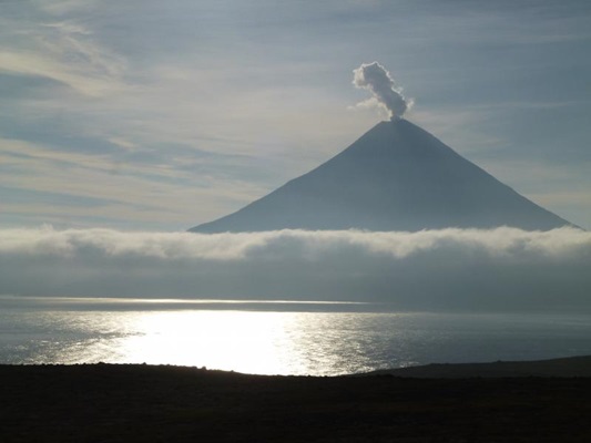
Cluster of Alaskan islands could be single, interconnected giant volcano
A small group of volcanic islands in Alaska's Aleutian chain might be part of a single, undiscovered giant volcano, say scientists presenting the findings Monday, 7 December at AGU’s Fall Meeting 2020. If the researchers’ suspicions are correct, the newfound volcanic caldera would belong to the same category of volcanoes as the Yellowstone Caldera and other volcanoes that have had super-eruptions with severe global consequences.
A vigorous steam plume issues from the summit of Mount Cleveland in the Islands of Four Mountains, Alaska. Credit: John Lyons/USGS.
Fish talk
As the sun sets on the North American Pacific coast, critically endangered Bocaccio rockfish (Sebastes paucispinis) broadcast pulsed, low frequency calls to potential mates.
Since Bocaccio fish are commercially harvested, scientists are especially interested in non-destructively monitoring their population sizes and determining peak patterns of activity in the 24-hour cycle.
Kelly Bishop, a researcher at the Scripps Institution of Oceanography at UC Sand Diego, will share her findings in a poster presentation on 7 December.
Audio courtesy of Scripps Acoustic Ecology Lab/UC San Diego

Press Release
2 December
Amphibian die-offs worsened malaria outbreaks in Central America
New findings provide first evidence of amphibian declines affecting human health. The global collapse of frogs and other amphibians due to the amphibian chytrid fungus exacerbated malaria outbreaks in Costa Rica and Panama during the 1990s and 2000s, according to new research.
Tree frog.Credit: David Mark from Pixabay.
Saturn's icy moon Enceladus, in high-res
2 December
A new global topographic map of distant Enceladus, a candidate in the search for life beyond Earth, resolves most of the frozen ocean world's geologic structures, including craters, ridges and fracture systems more than 5 kilometers across.
Lunar and Planetary Institute planetary scientist Paul Schenk will discuss the improved definition of 100-kilometer-scale basins, which may be signs of hydrothermal activity, at an oral session on 7 December.

Press Release
1 December
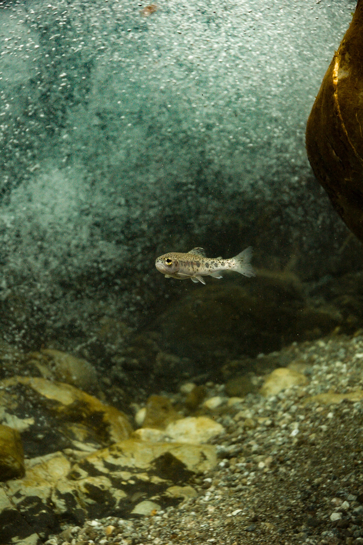
Roly polies transfer environmental toxins to threatened fish populations in California
New research finds steelhead trout in a stream on the California coast accumulate mercury in their bodies when the fish eat roly polies and similar terrestrial bugs that fall into local waterways. The new study corroborates earlier findings that mercury can make its way to the top of the food chain in coastal California.
A juvenile steelhead trout in Big Creek, California. Credit: Morgan Bond.
Peek at the belowground world of a warming peat bog
1 December
Researchers at the SPRUCE project found warmer temperatures affect the abundance and appearance of plant roots, as well as the fungi associated with them. The results highlight the potential impacts of climate change on peatlands.
Learn more at a poster by Oak Ridge National Laboratory ecologist Camille Defrenne.

Press Release
30 November
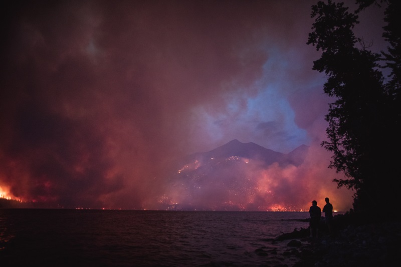
Area burned by severe fire has increased 8-fold in western U.S. forests over past four decades
New research finds fires are not only becoming more common in the western U.S. but the area burned at high severity is also increasing, a trend that may lead to long-term forest loss.
Howe Ridge Fire 2018. Credit: Glacier National Park.
Planets with steeper tilts may foster and make life easier to detect
30 November
Using planetary and biogeochemical modeling techniques, a team of researchers has determined that planets which tilt more toward their respective star may not only make it easier to detect putative signs but may also be more suitable than Earth for the evolution of complex life.
The researchers specifically modeled planets with stable ocean environments that sustain photosynthetic organisms, finding planets that are more tilted had stronger ocean circulation and upwelling, leading to increased rates of photosynthesis and oxygen production. The study also found such planets are likely to be warmer and have less ice locked up at the poles.
The findings will be shared in an oral presentation on 8 December at AGU’s Fall Meeting 2020 by Megan Nicole de Wit Barnett, a geophysicist at the University of Chicago.
As oceans warm, more of their dissolved oxygen gets diffused into the atmosphere. Atmospheres rich in oxygen are the main feature scientists look for in their search for extraterrestrial life, so the findings suggest planets with high obliquity may be a light in the dark during future observations. Increases in atmospheric oxygen might also allow for the origin of increasingly complex organisms.
